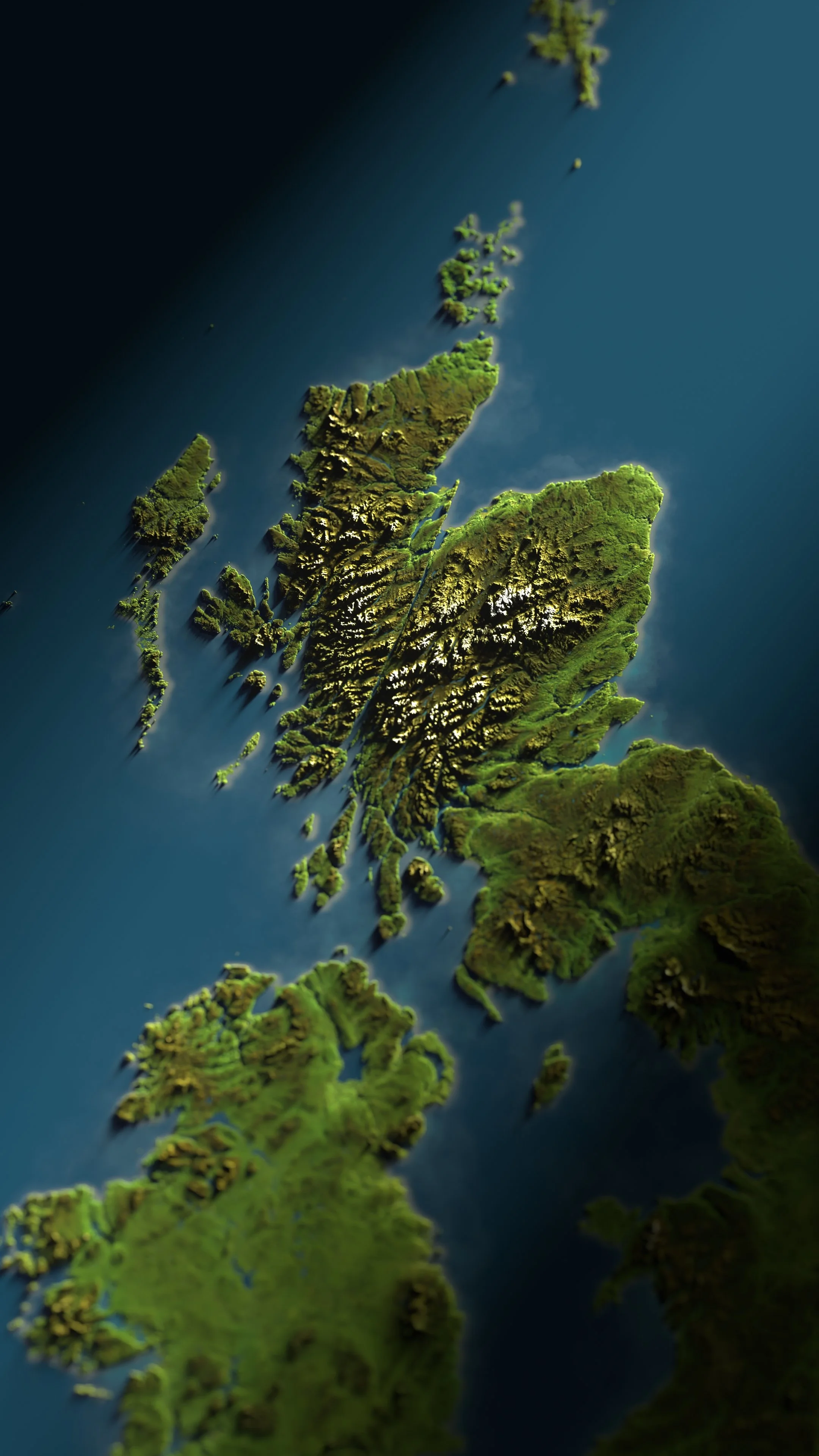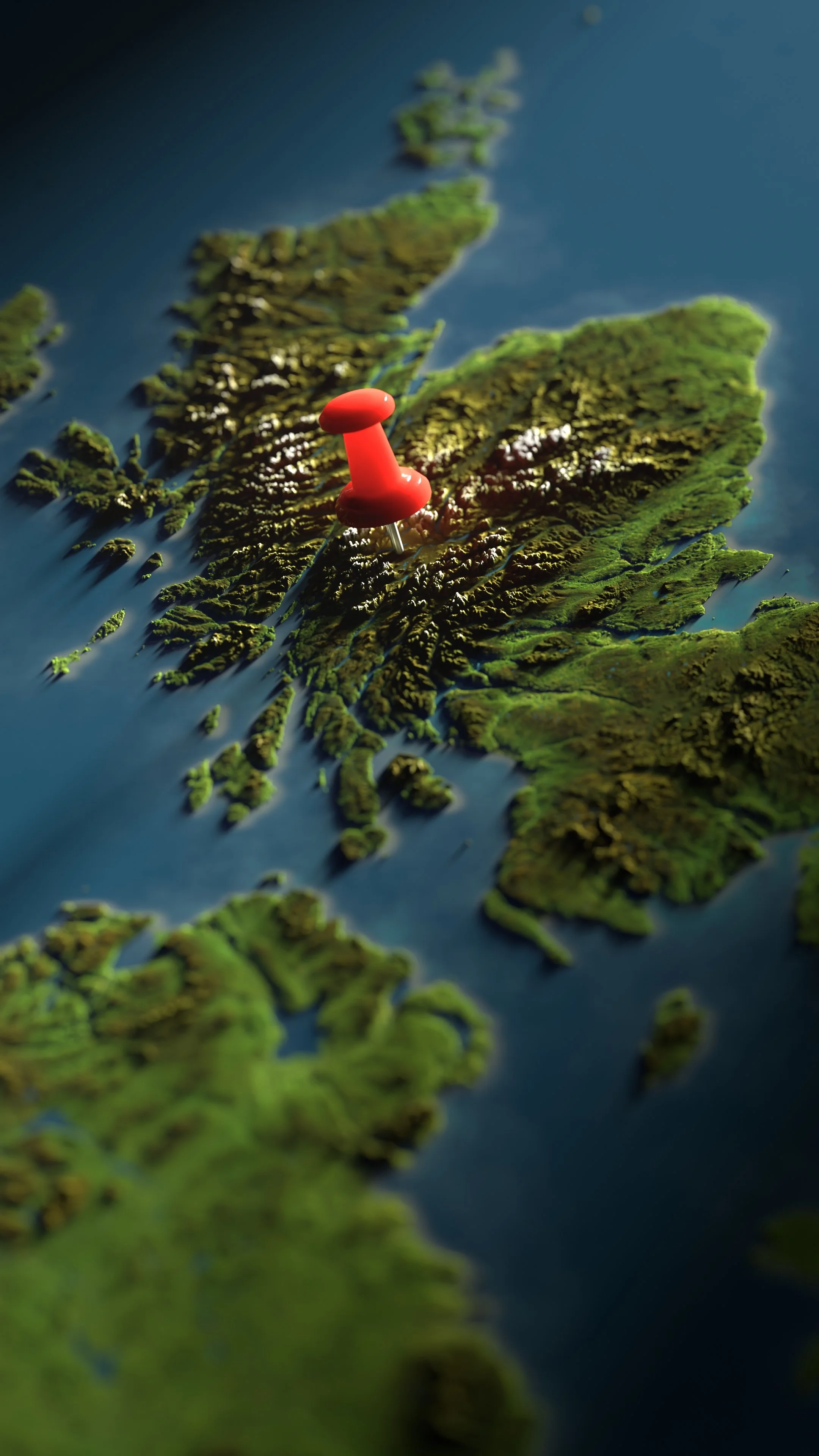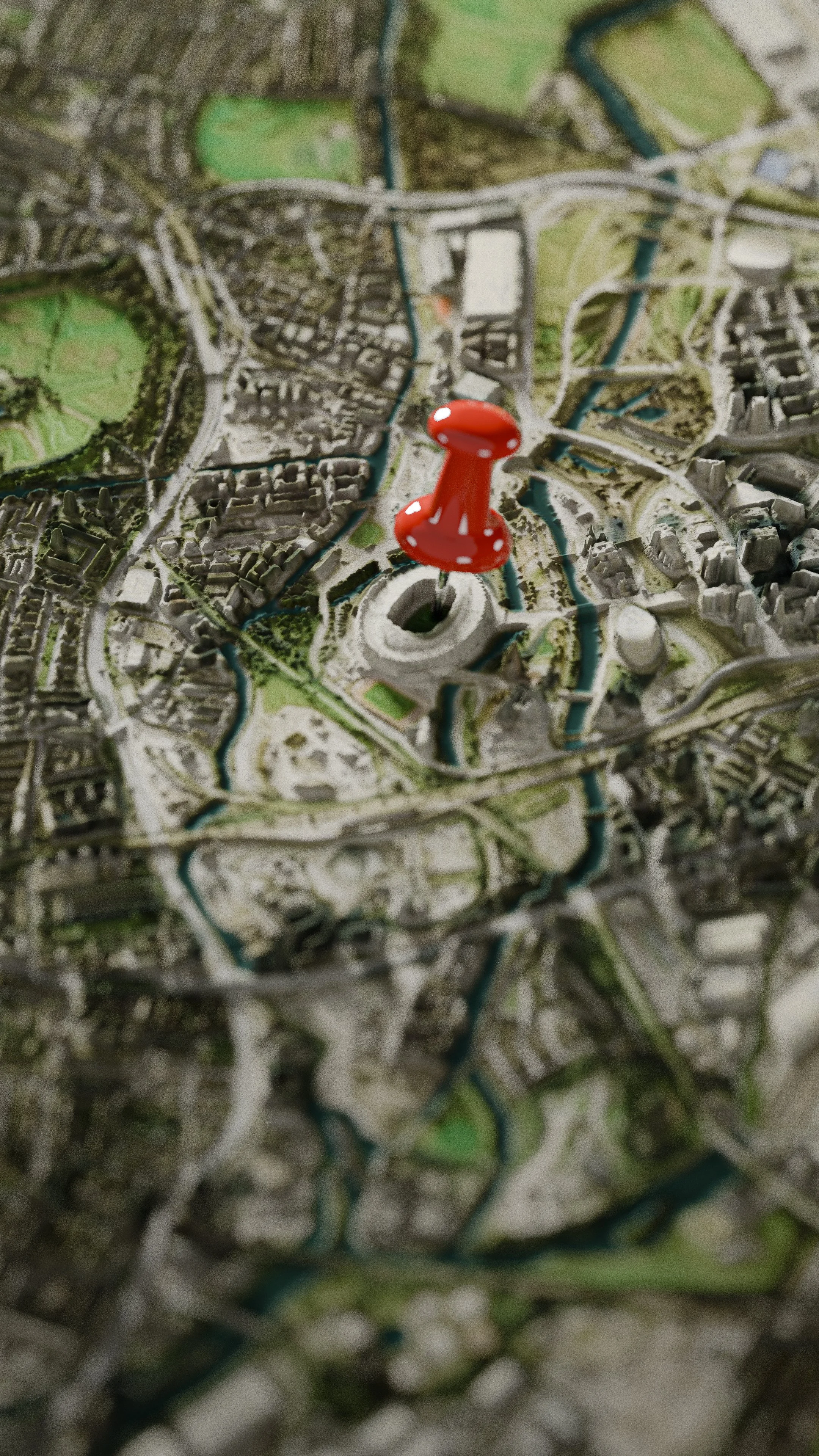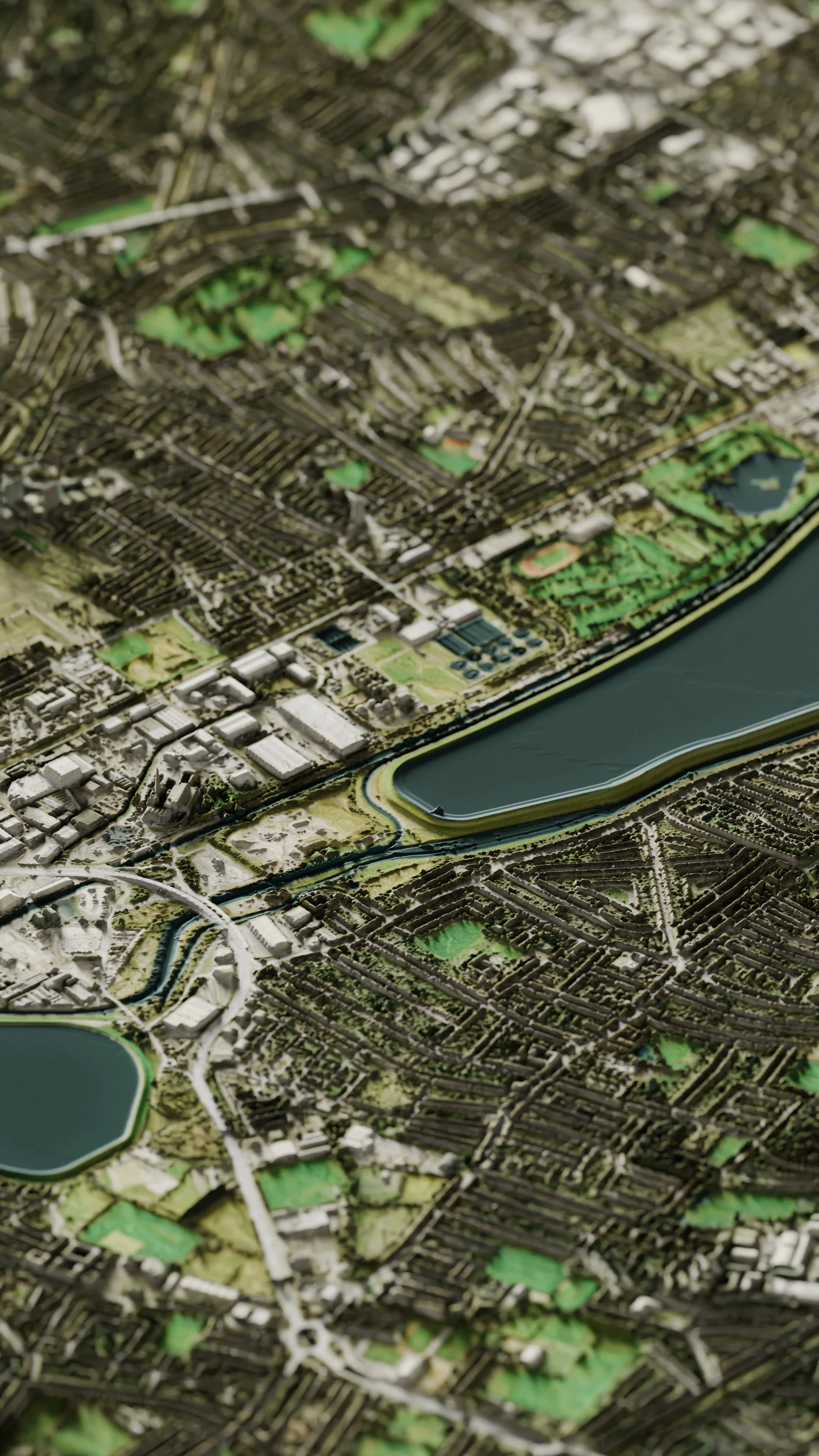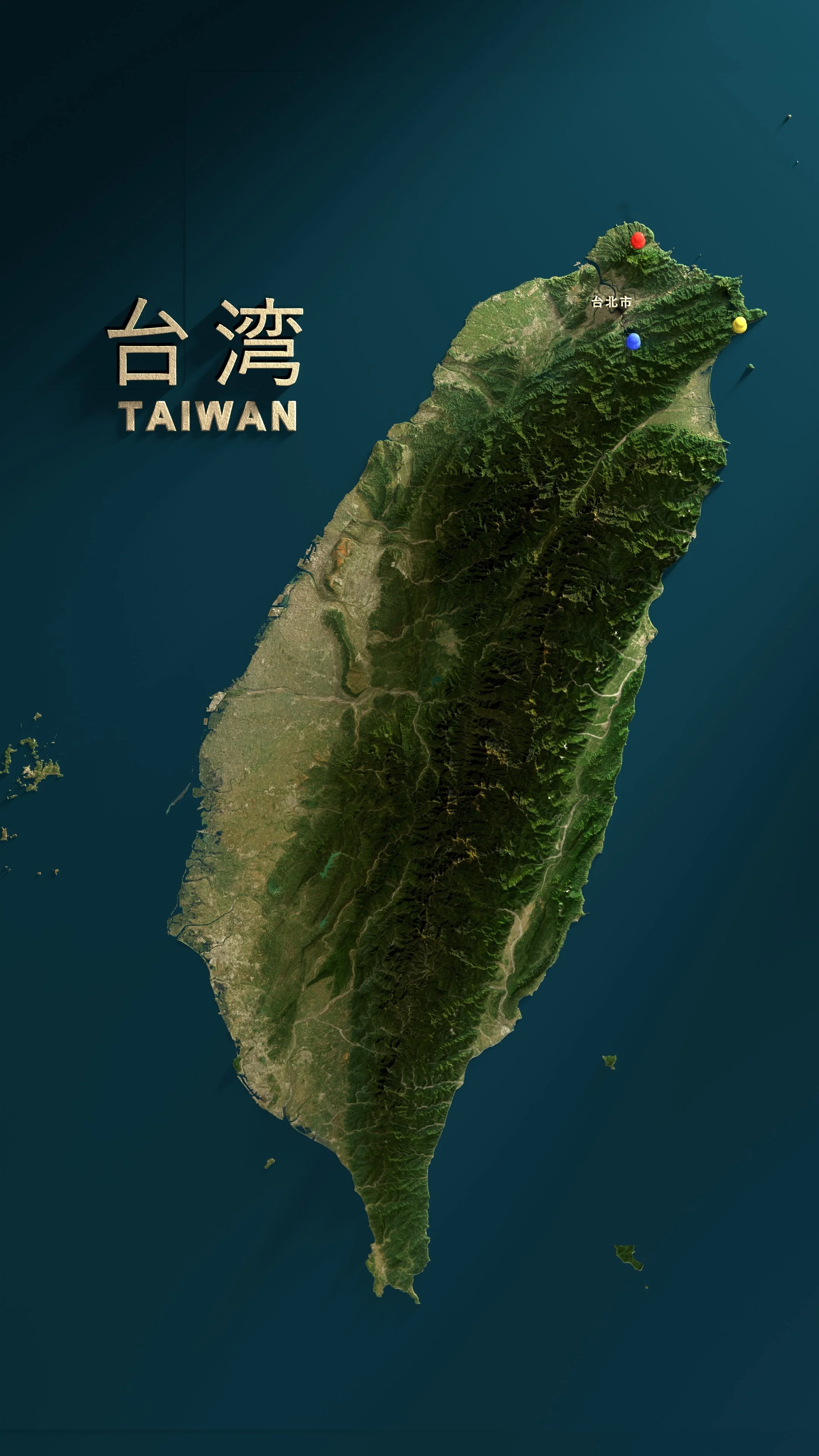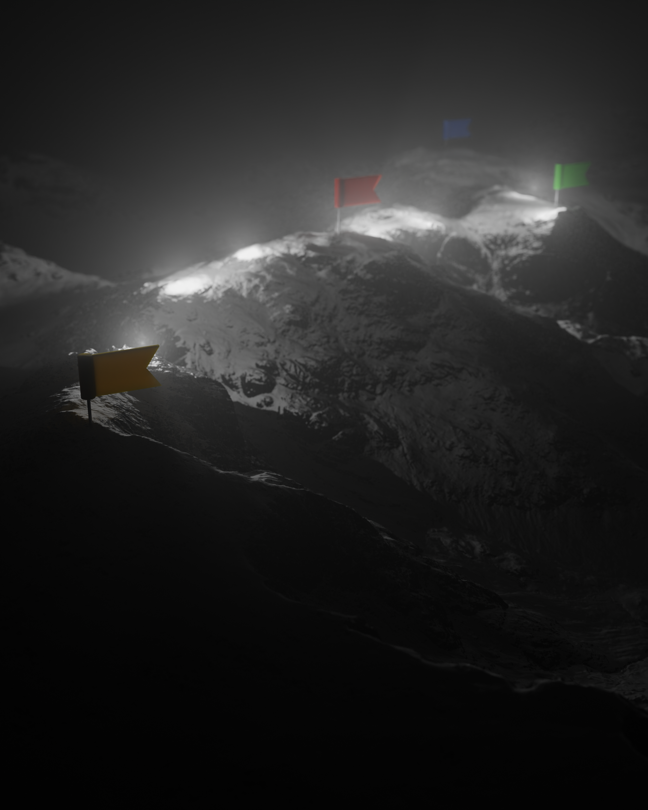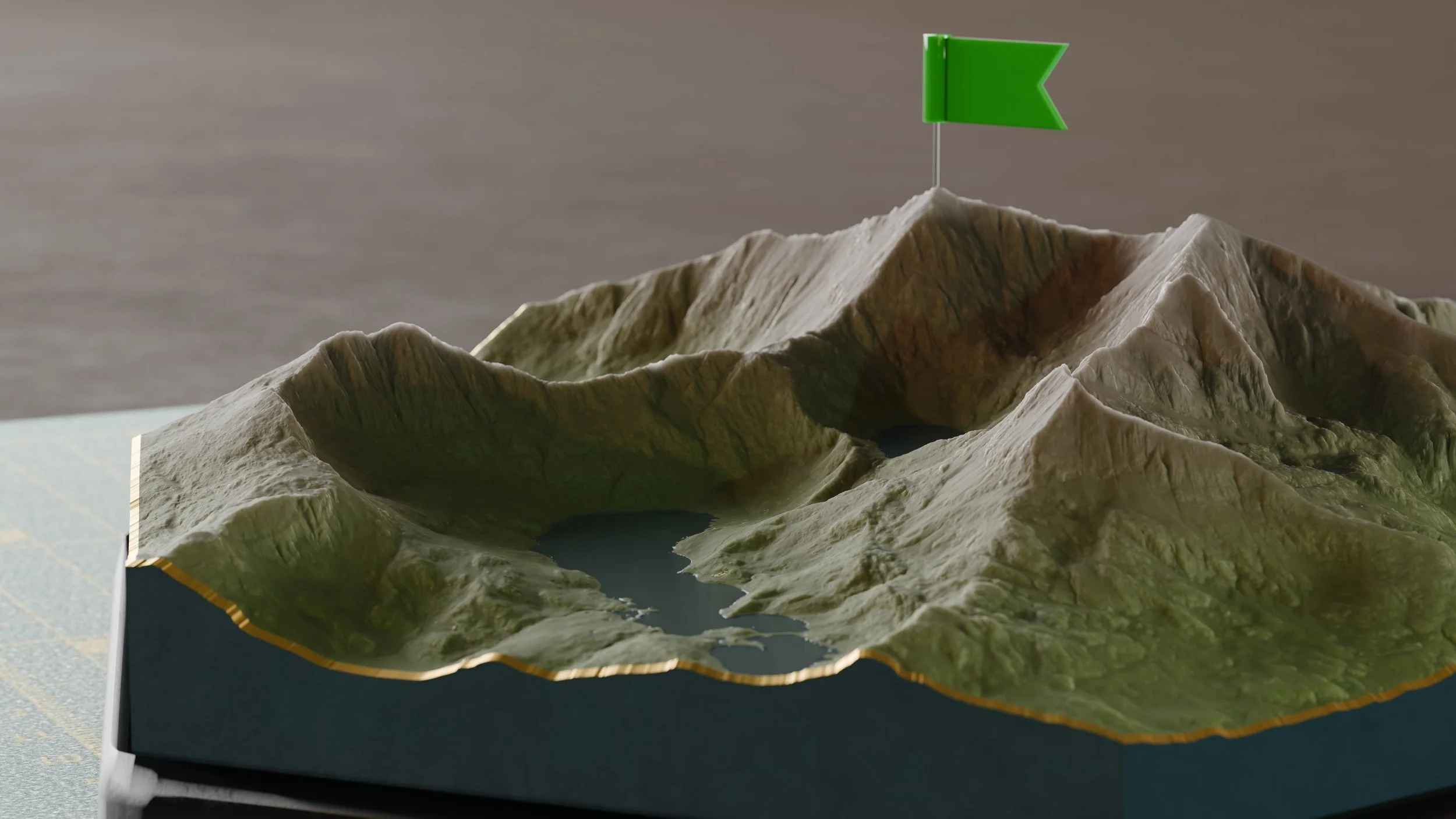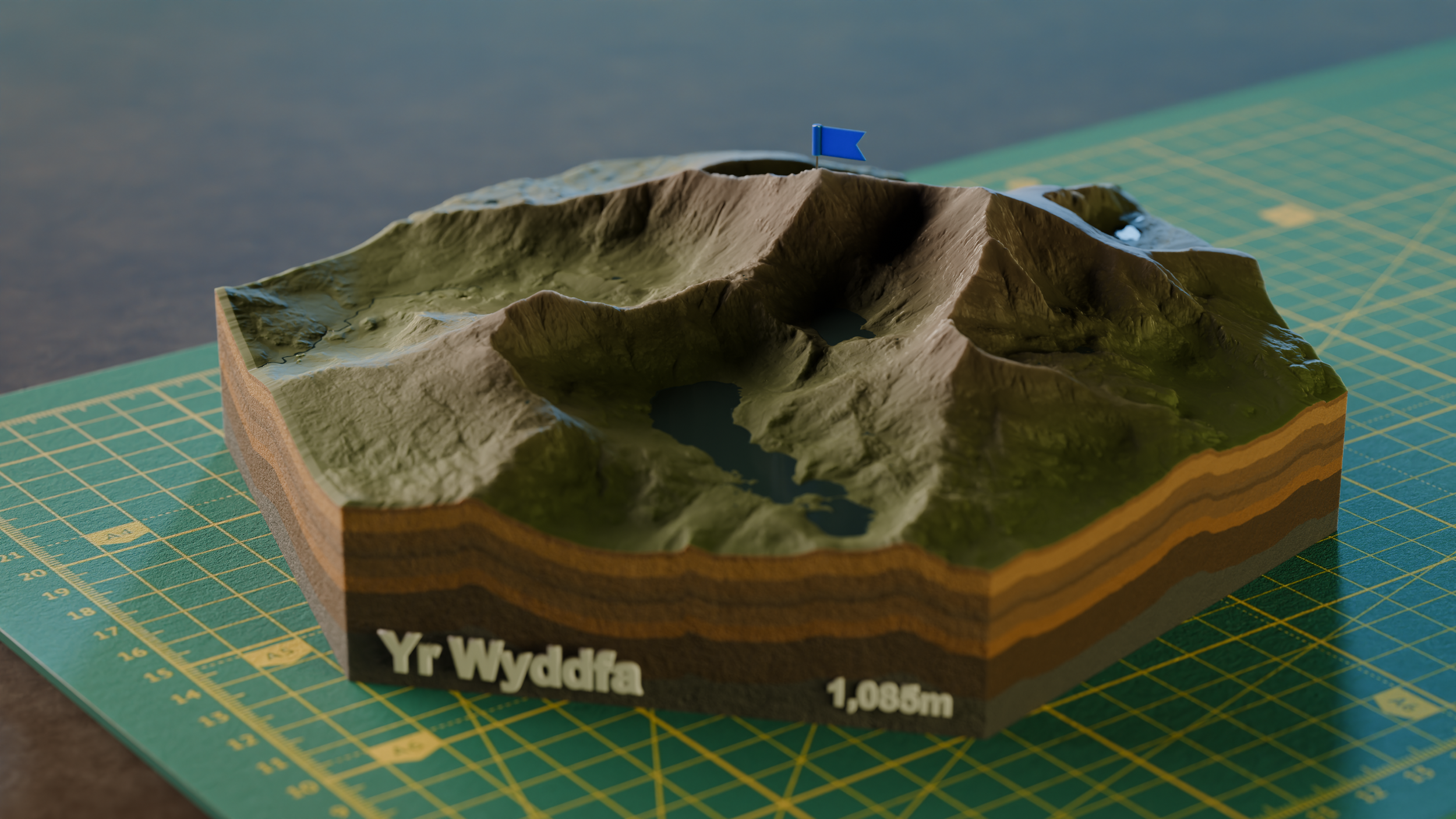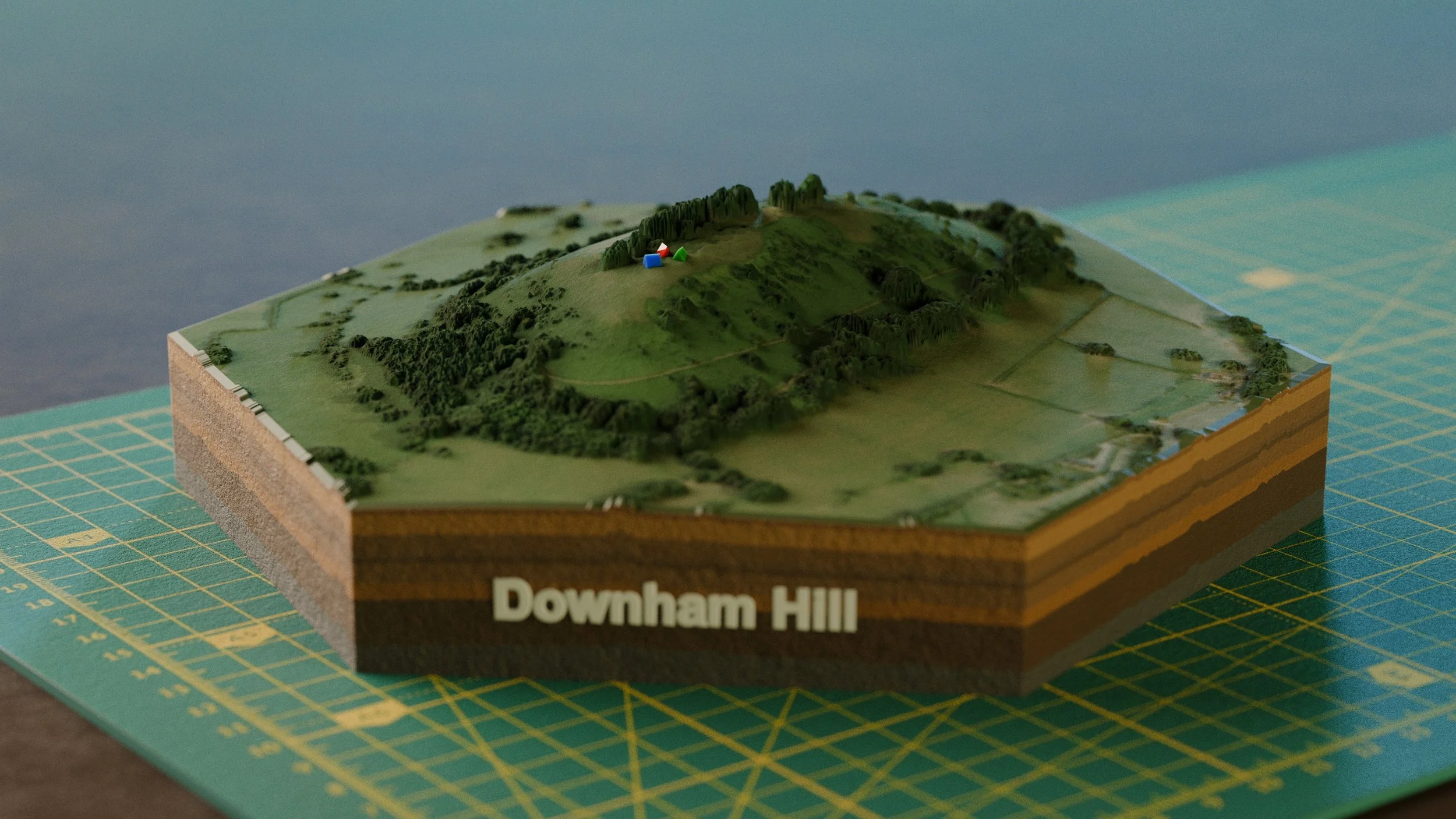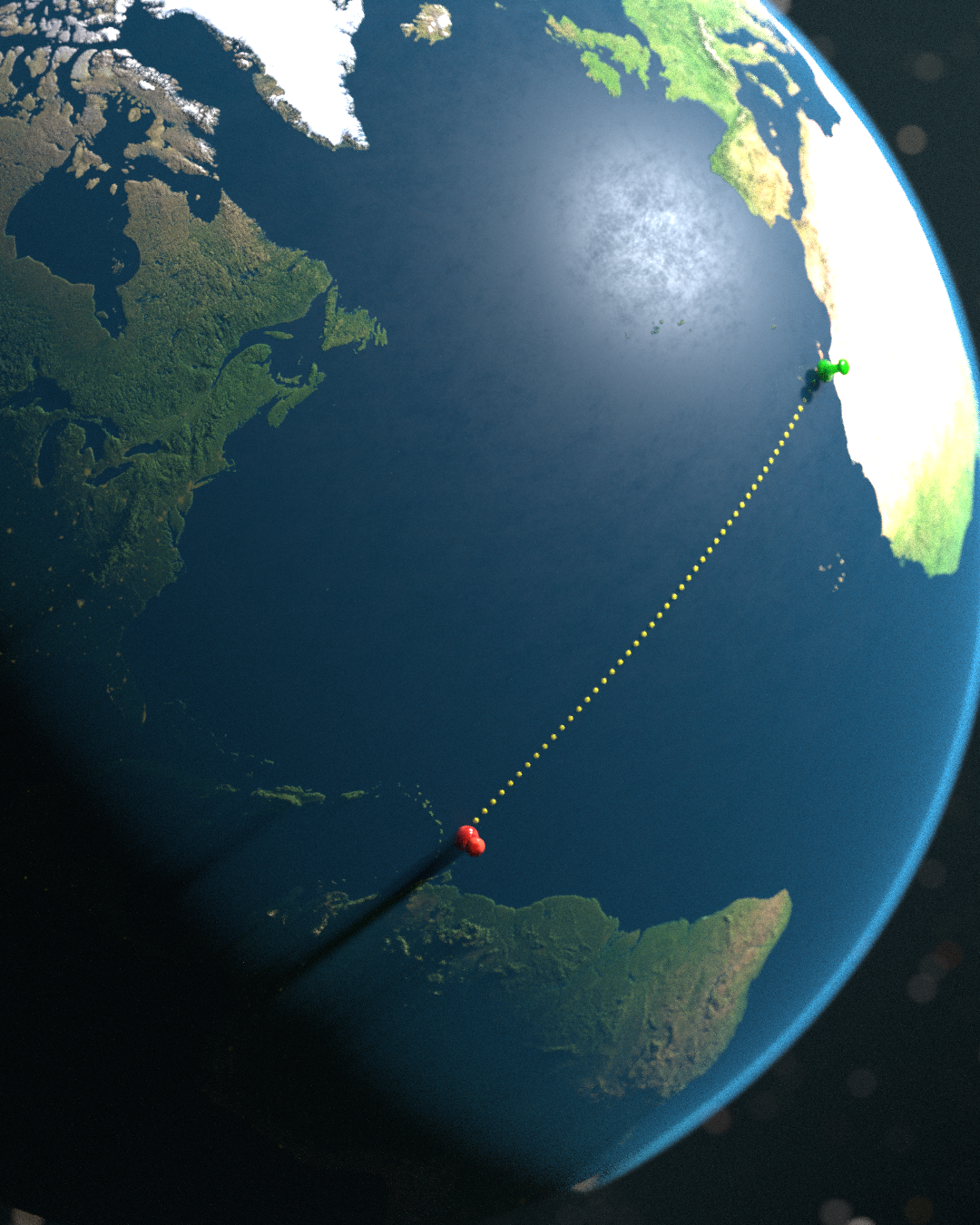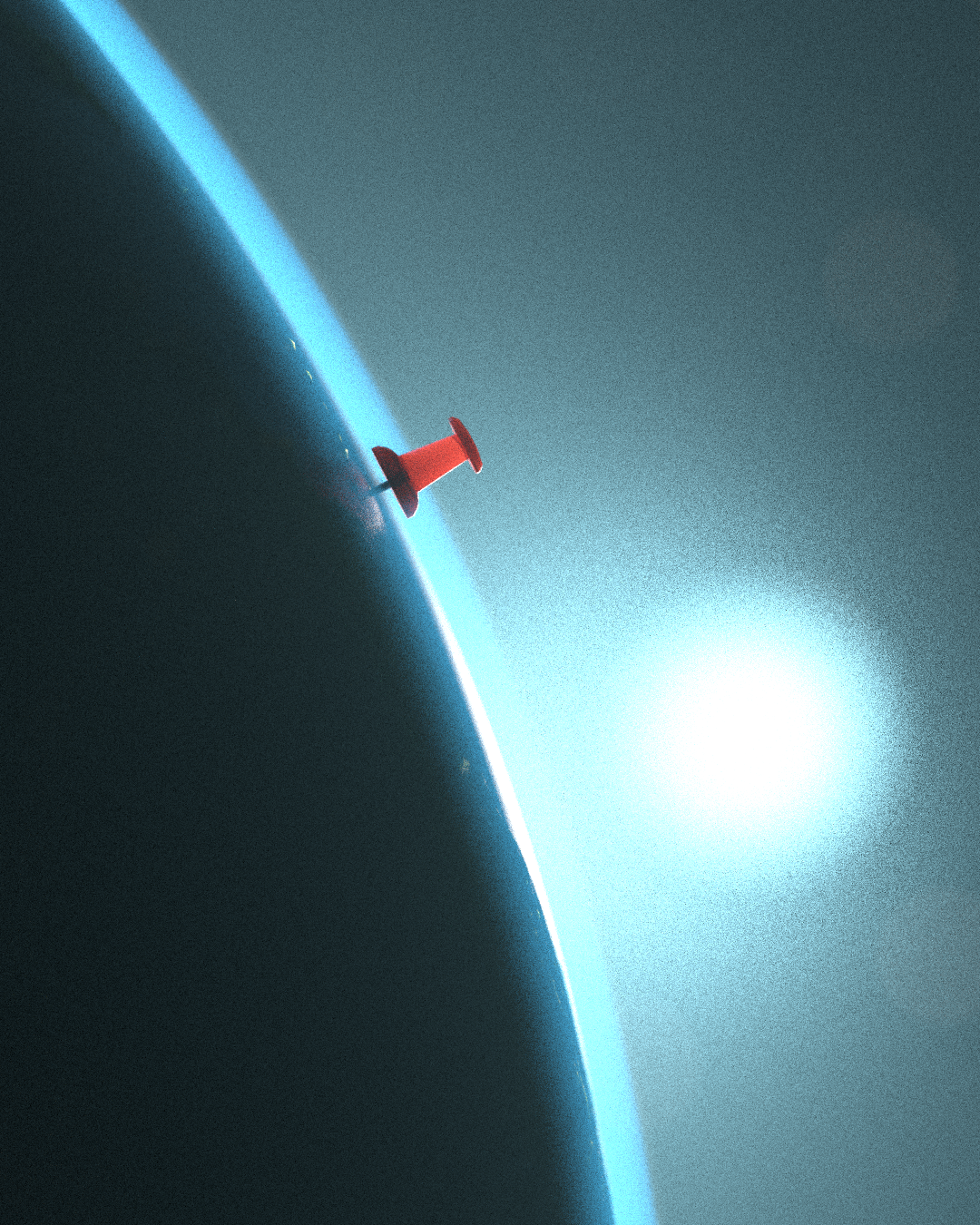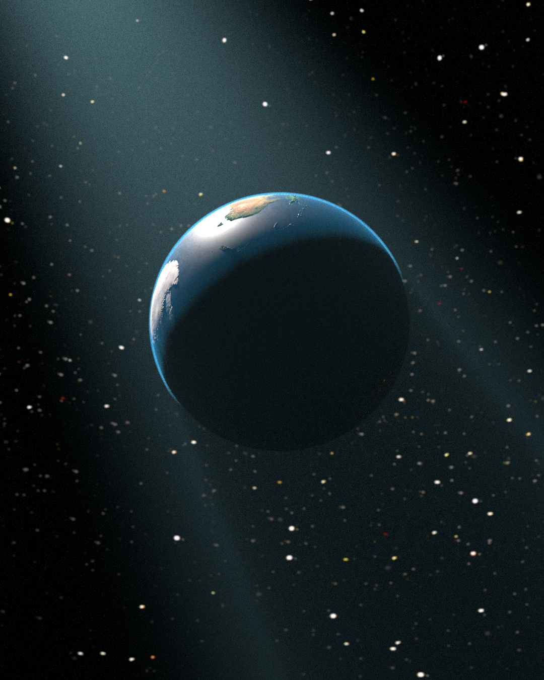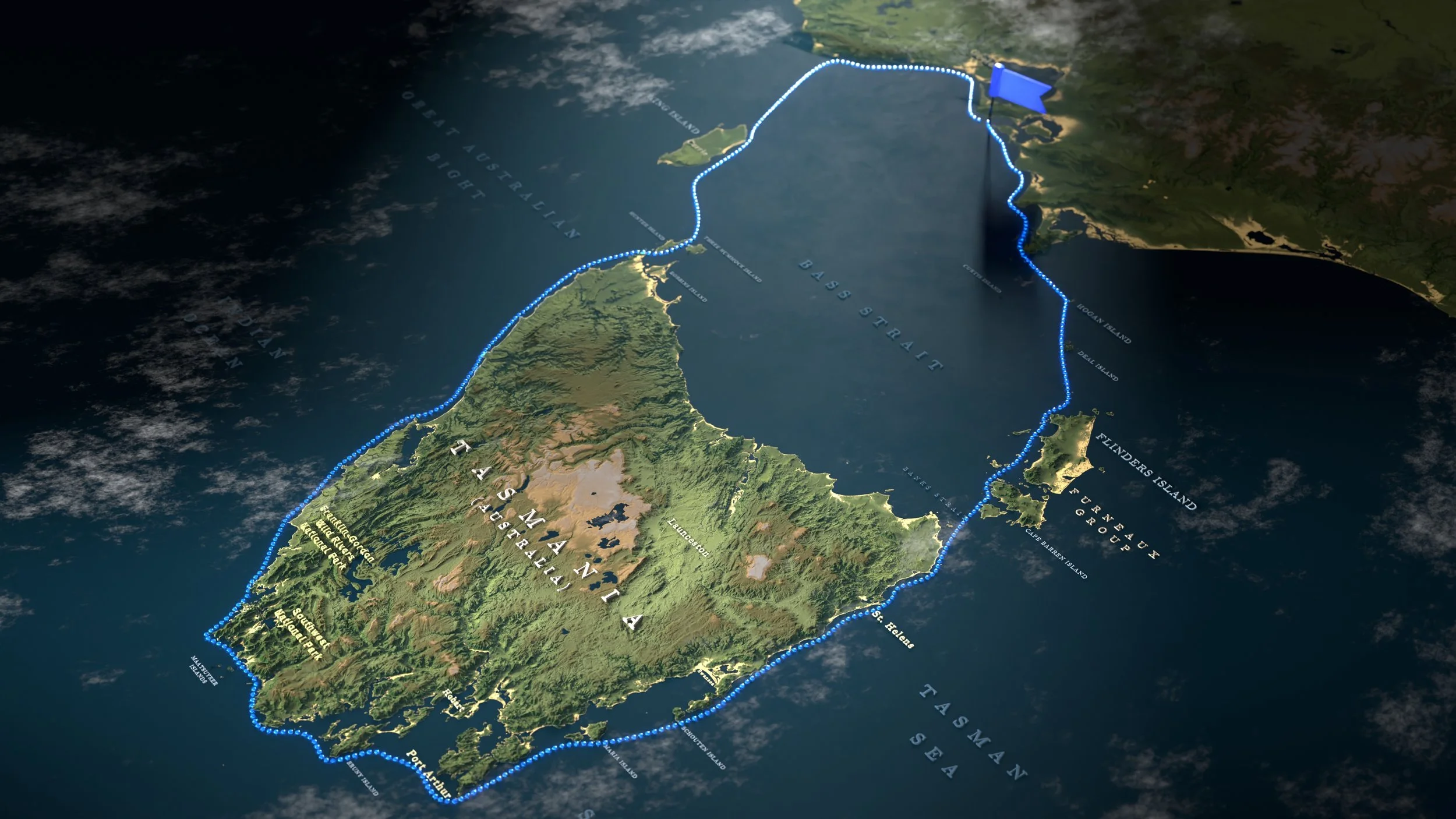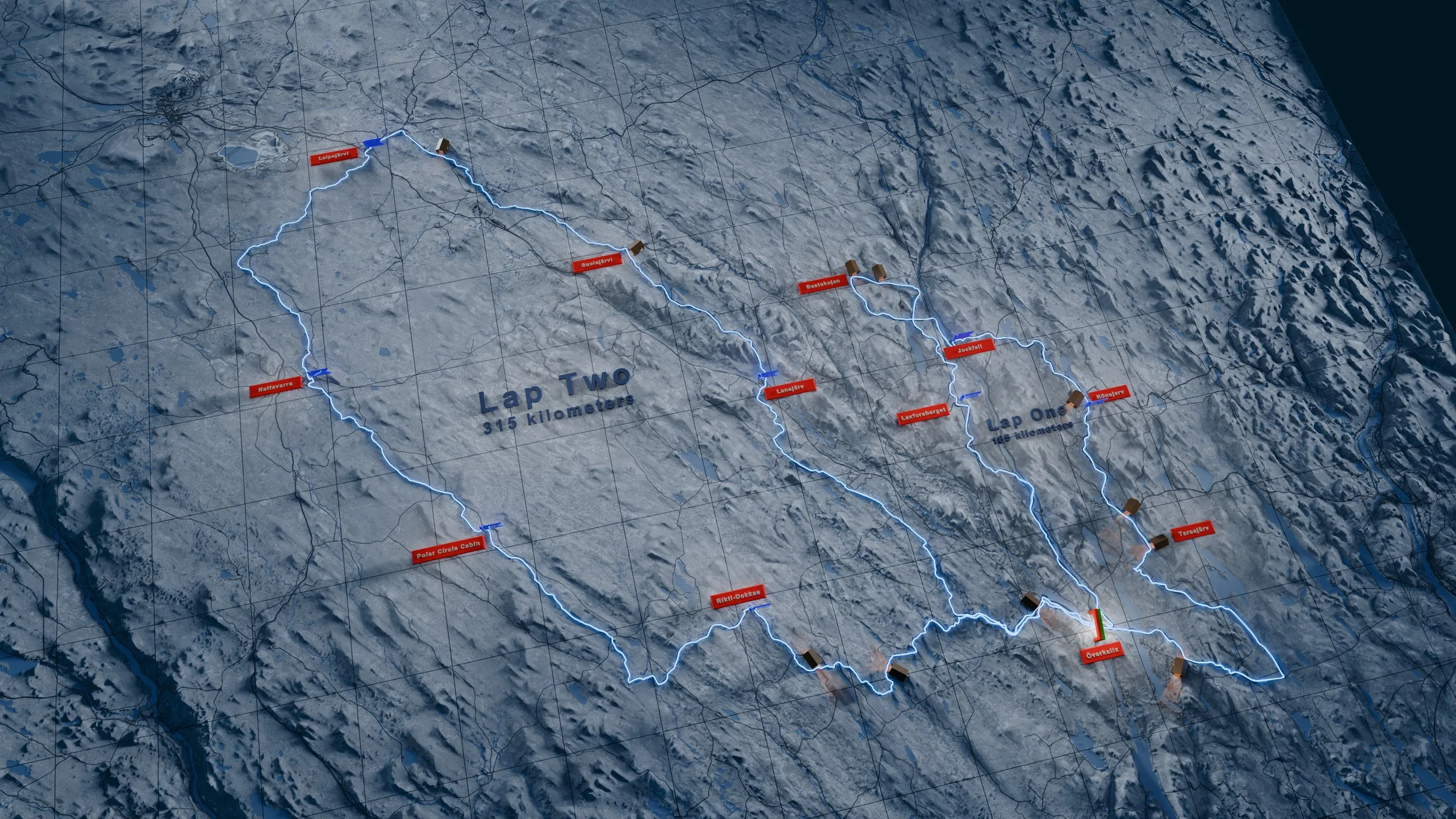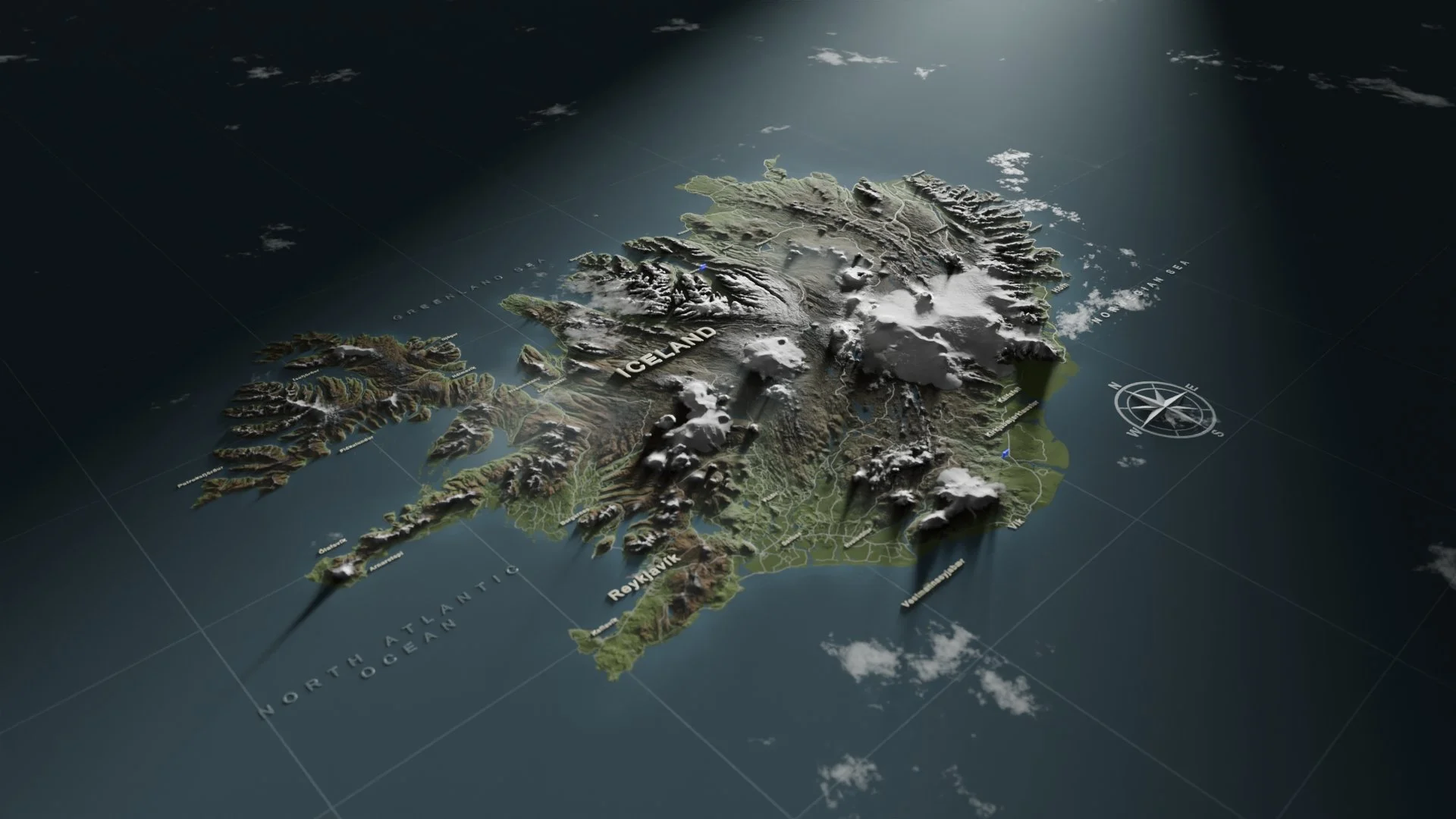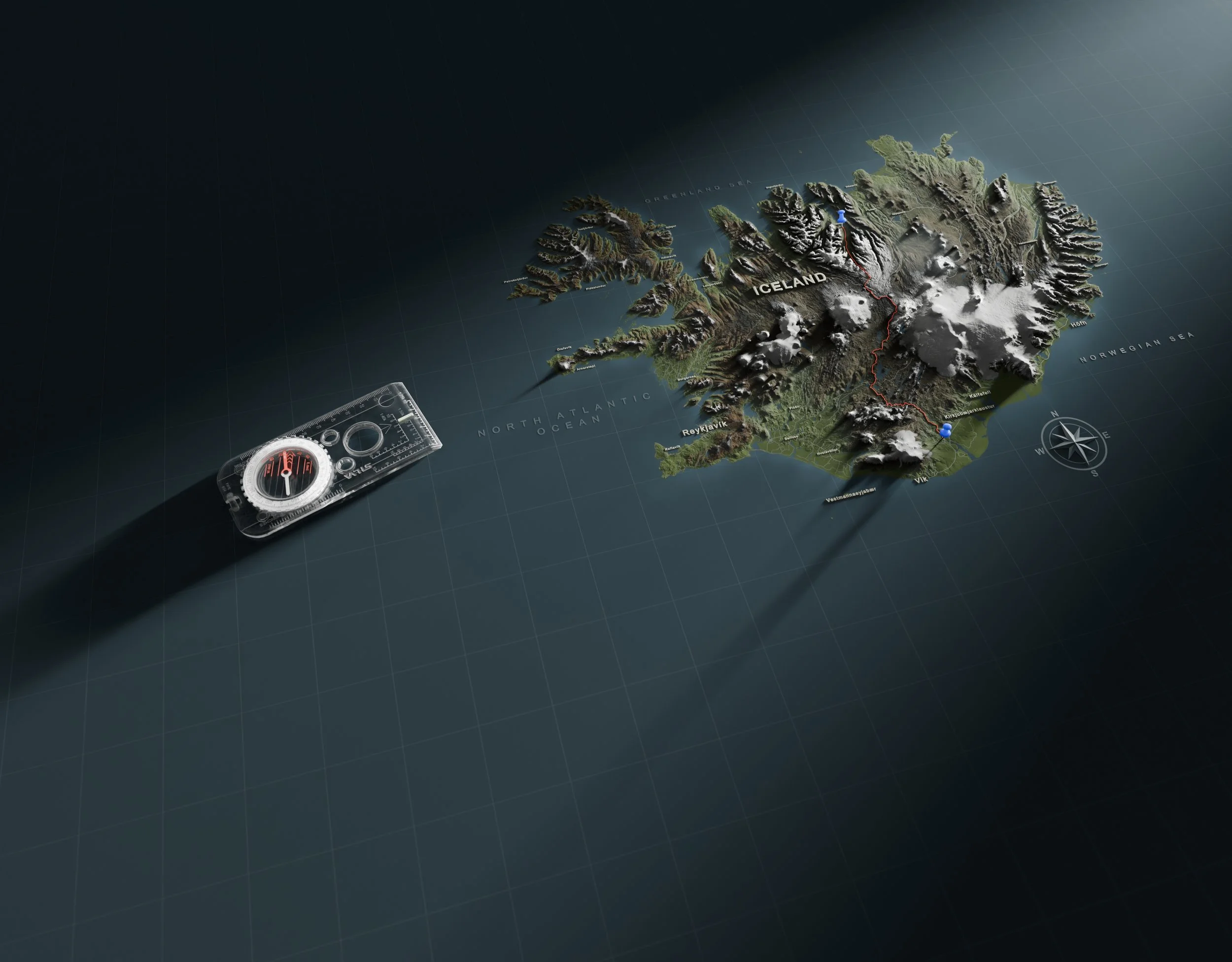
IMMERSIVE 3D MAPS
Crafted for documentaries, short films, or any story that needs a powerful sense of place.
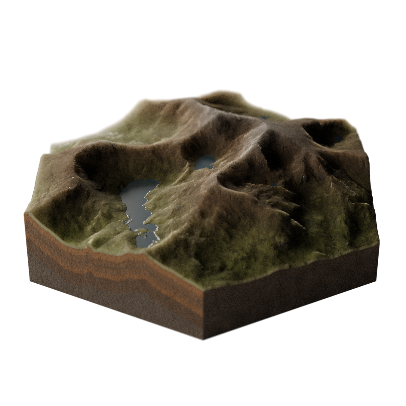
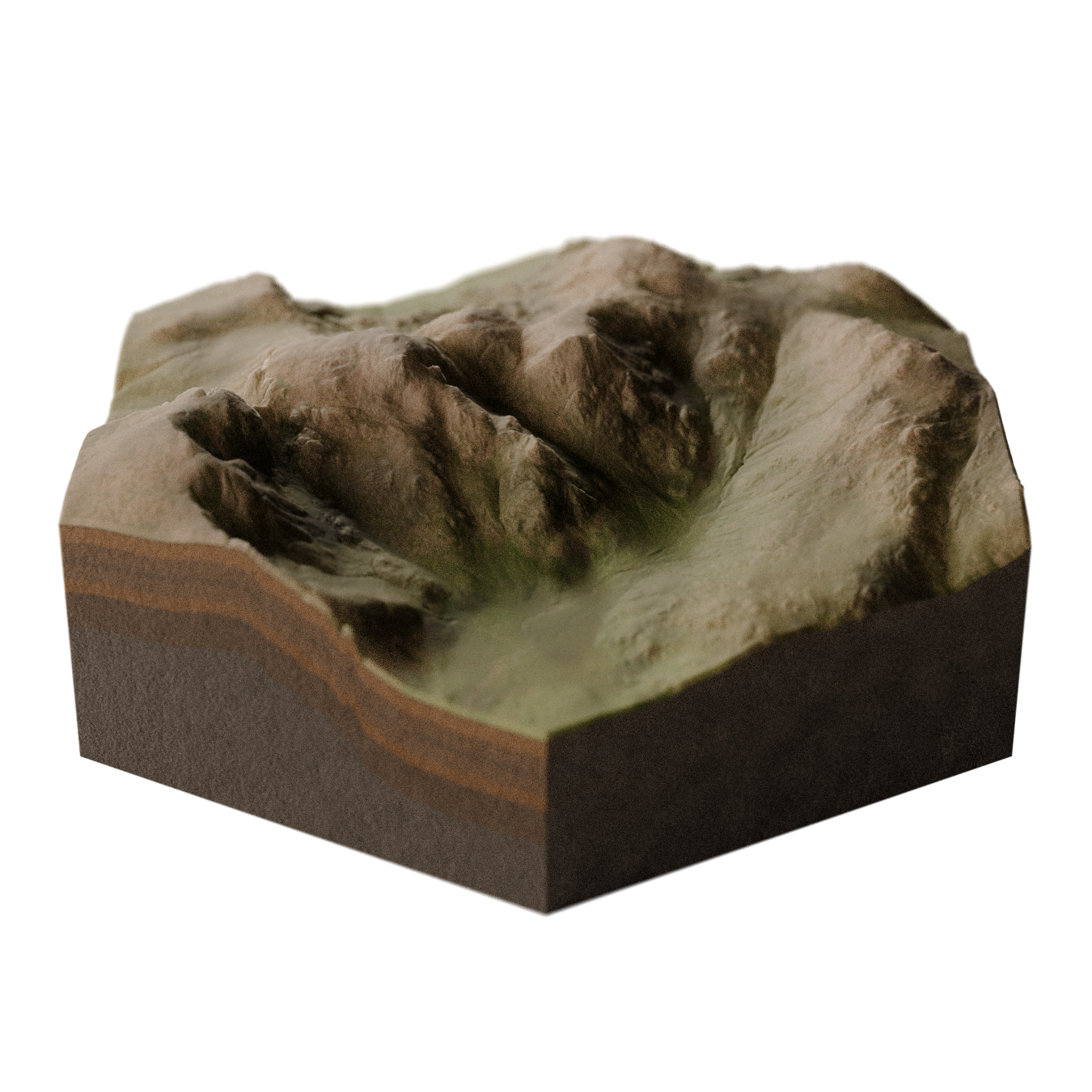
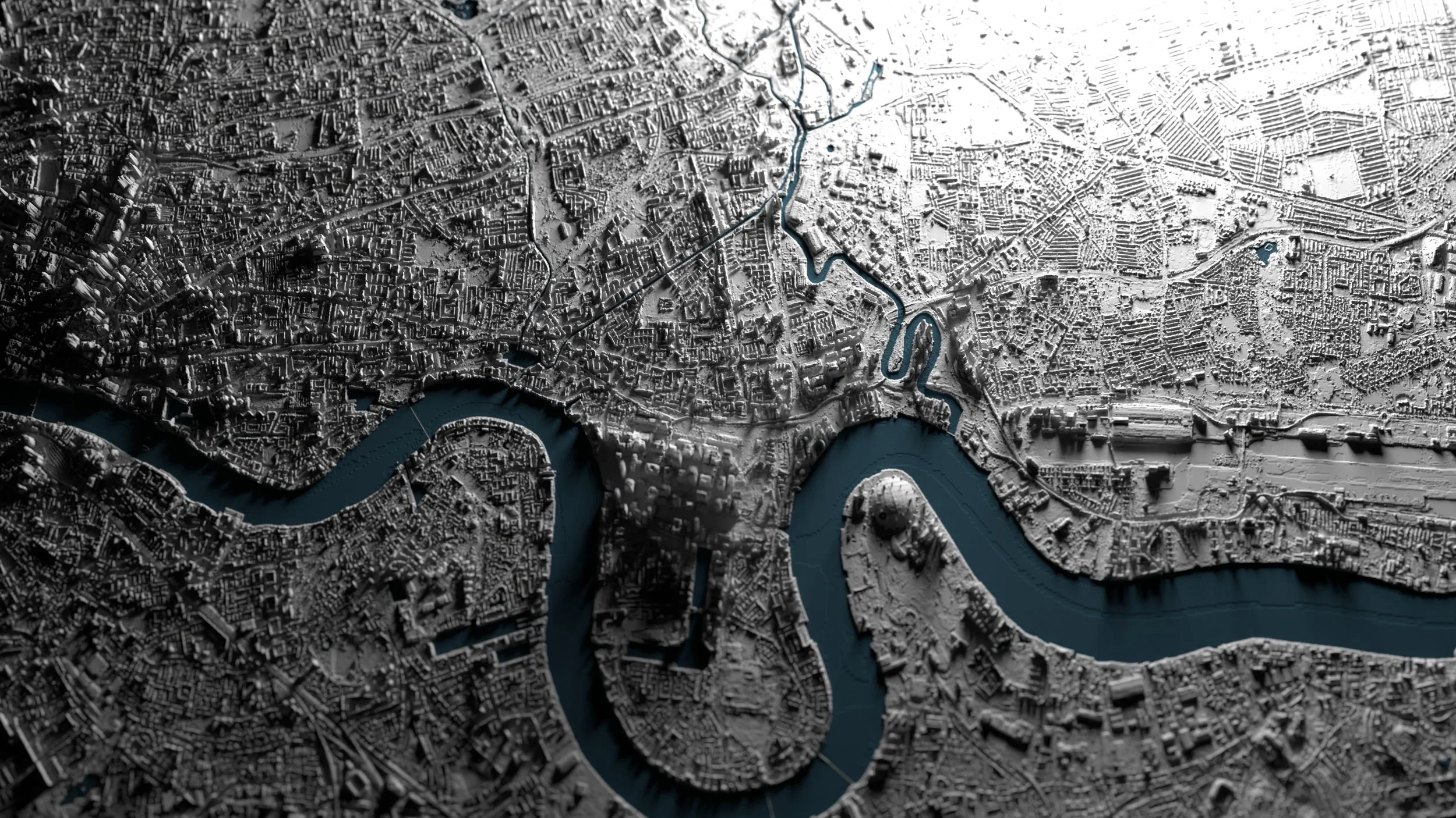
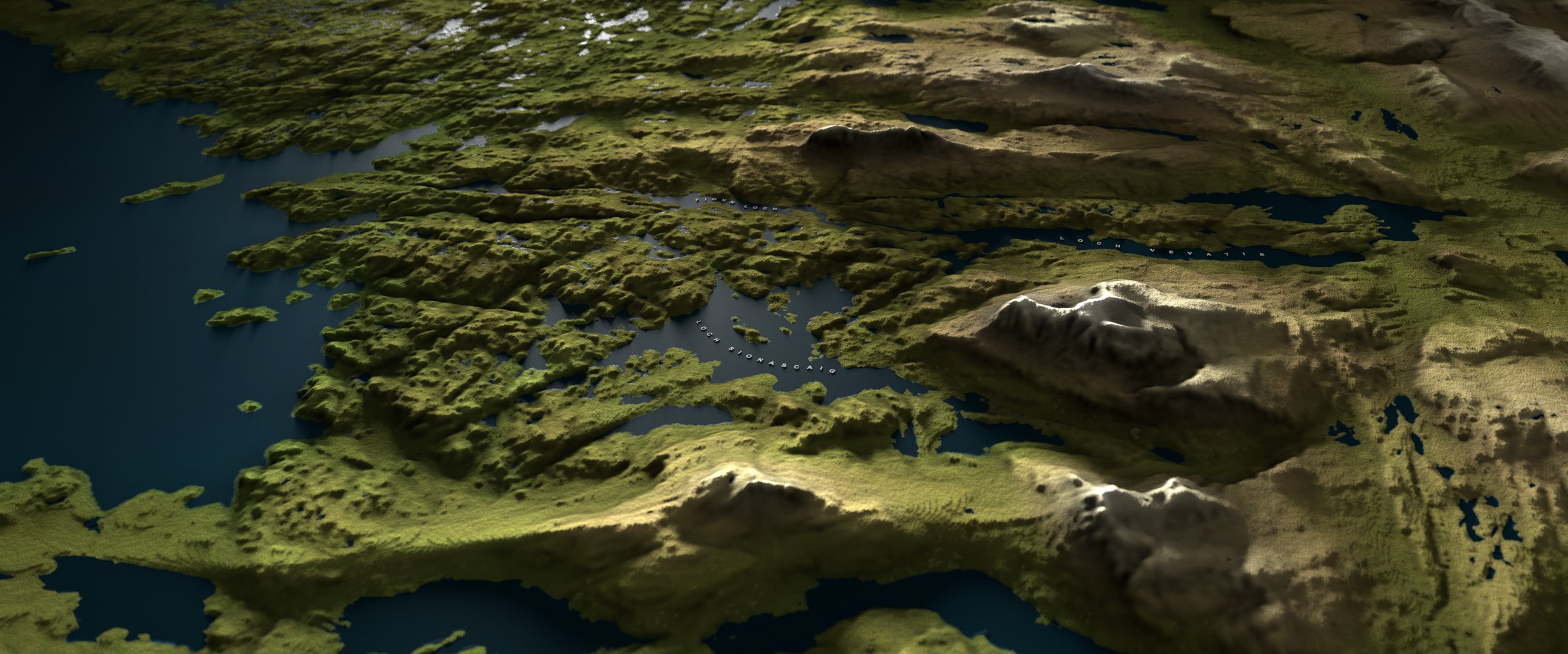
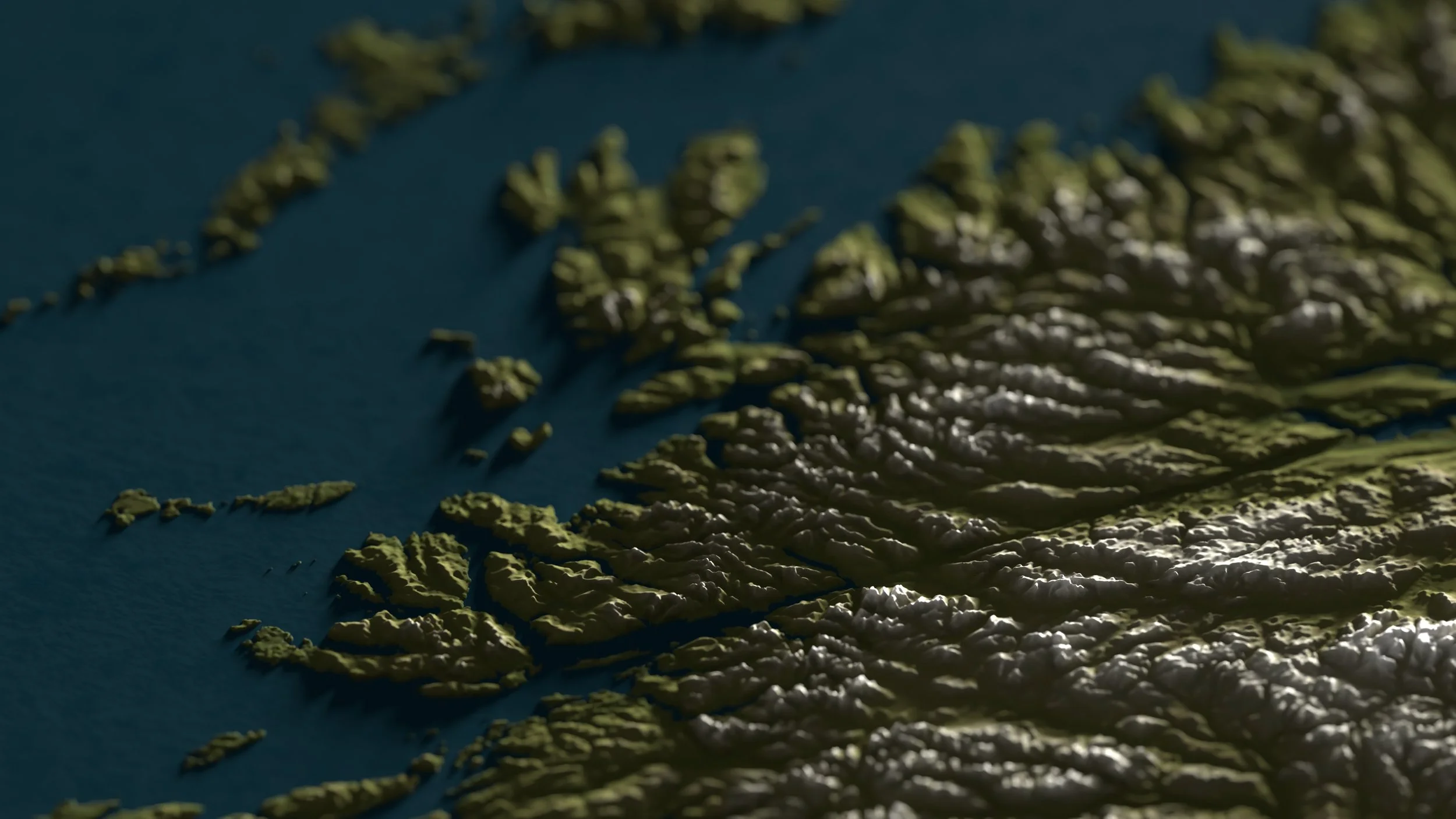
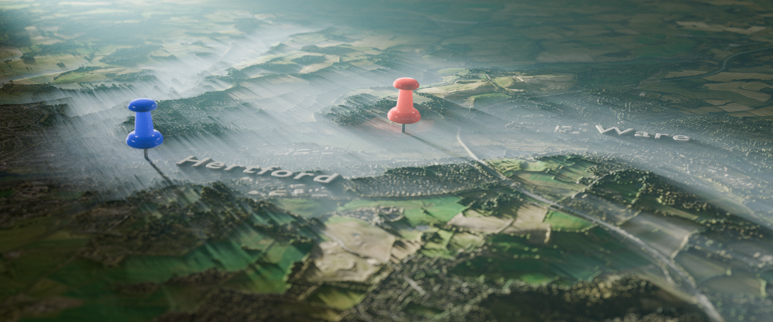
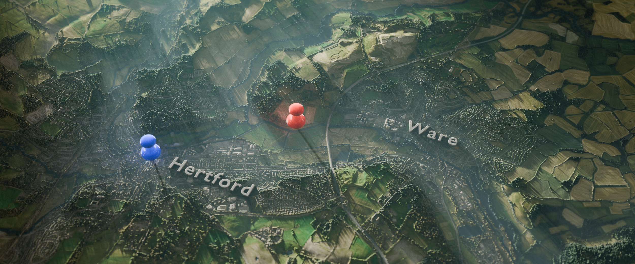
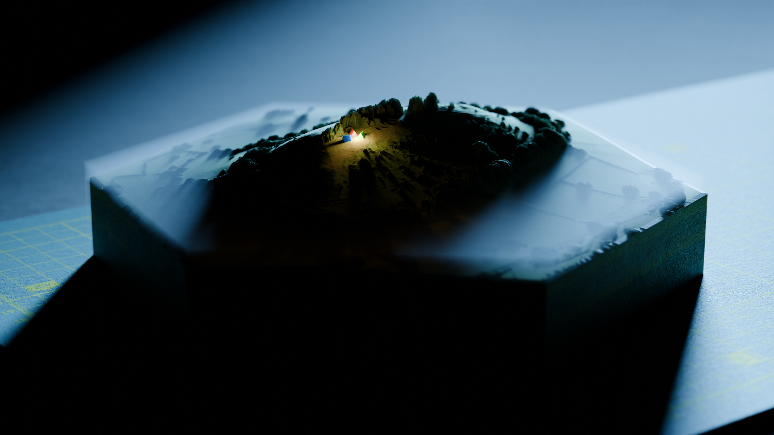
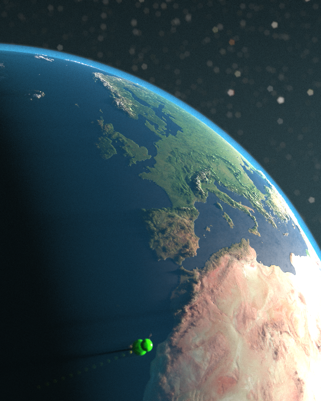
MAP DESIGN
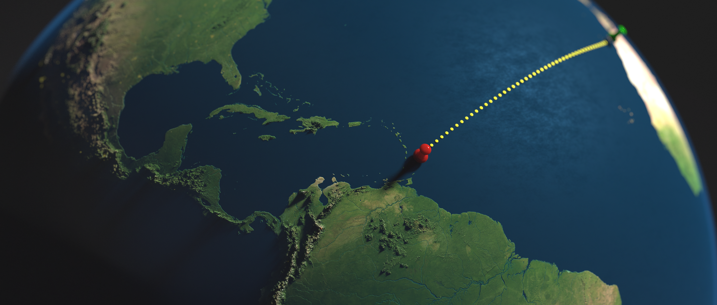
Utilising a combination of resources, including digital elevation models (DTMs), LiDAR data and vector-based information, I am able to create realistically detailed maps within a virtual 3D space.
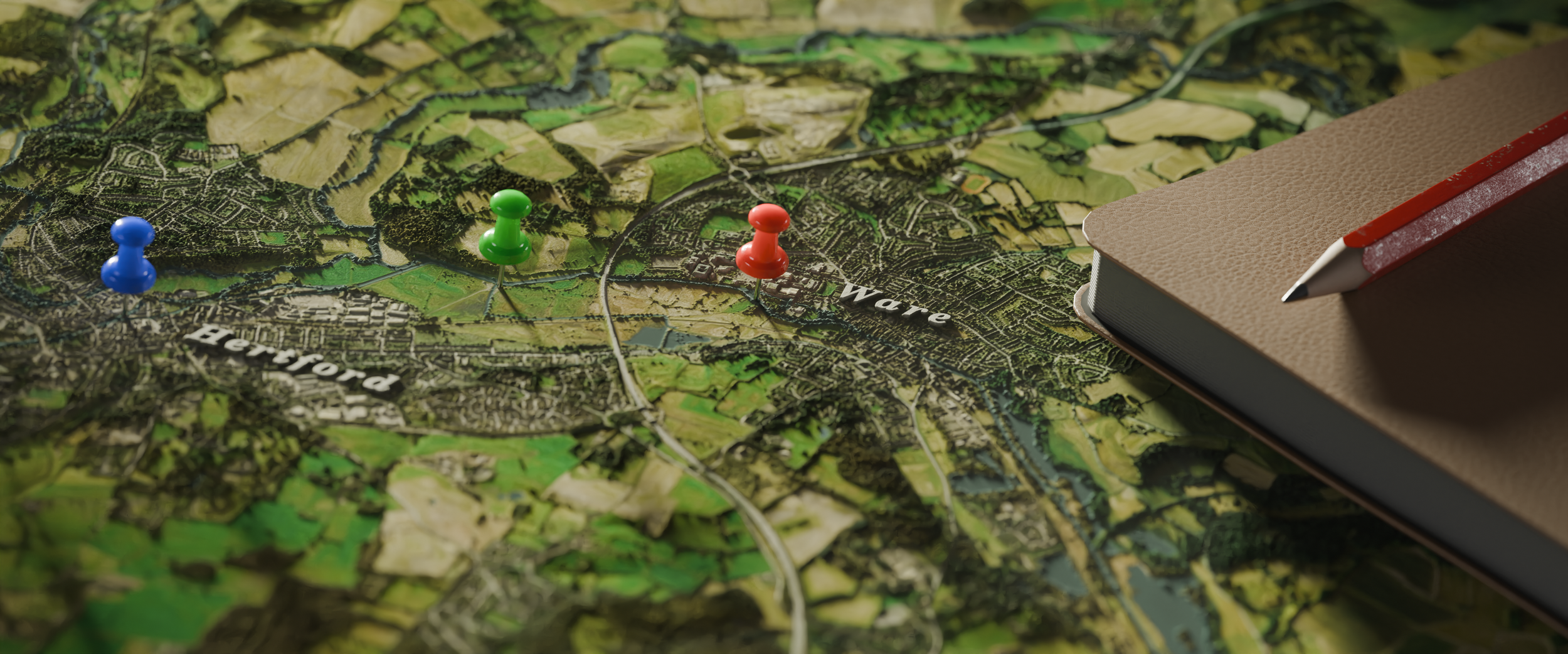
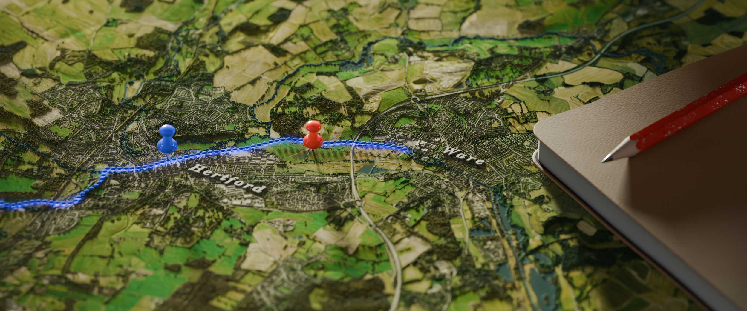
These maps can then be outputted as a single image or a full video sequence with animated labels, route paths or anything you may specifically require.